বিশেষজ্ঞতা
Geographic Information System (GIS)
Spatial analysis, mapping, and field-survey systems that turn terrain into decisions.
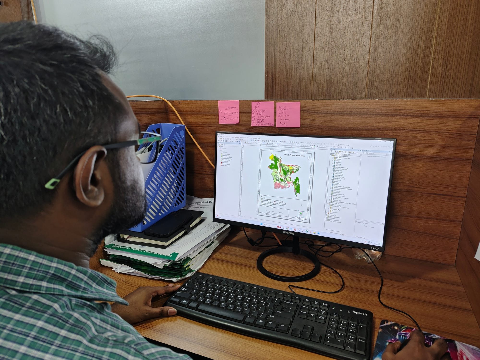
The GIS Division builds spatial datasets and analysis that turn terrain and field observations into decisions. It runs field surveys, manages geospatial databases, and produces the maps that underpin planning, assessment, and infrastructure design.
Recent assignments include national land-cover and natural-capital mapping and large-scale field surveys for government and development partners.
এই দলের সাথে কথা বলুন