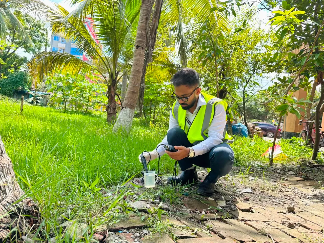
Feasibility Study, DPP/RDPP Preparation & Project Planning
Feasibility studies and Development/Revised Development Project Proposals that give public works a sound, fundable start.
SRCL works through 14 specialist divisions spanning water resources, river and coastal morphology, climate and disaster management, ecology and forestry, GIS, and remote sensing. Flagship divisions with full programmes are listed below.
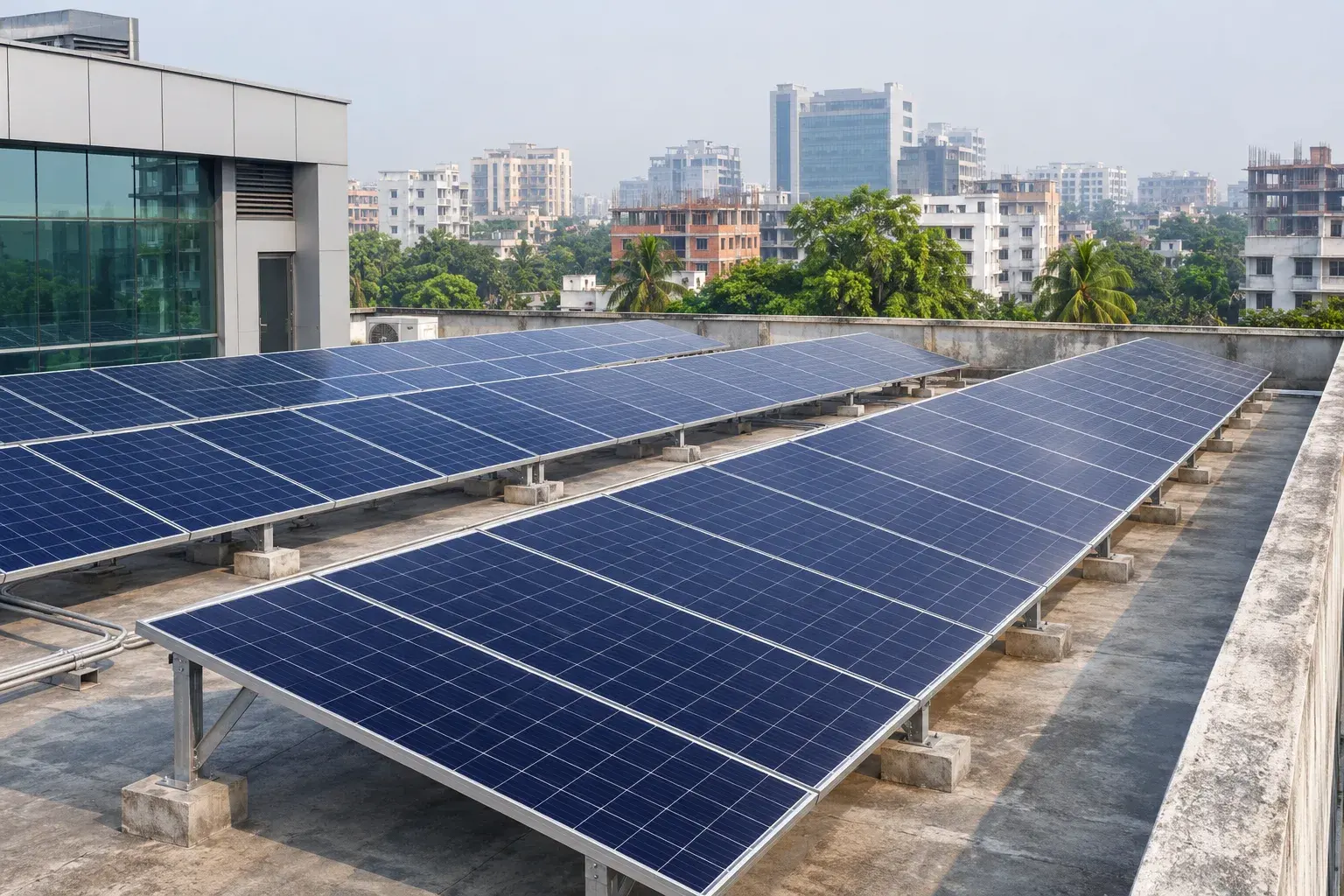
Clean Energy · Rooftop Solar Solutions
SRCL provides professional rooftop solar consultancy services, including site assessments, technical and financial feasibility studies, energy potential analysis, and solar PV system design for commercial, industrial, and institutional buildings across Bangladesh.
Explore our full range of services, from planning and assessments to surveys, engineering, and training.
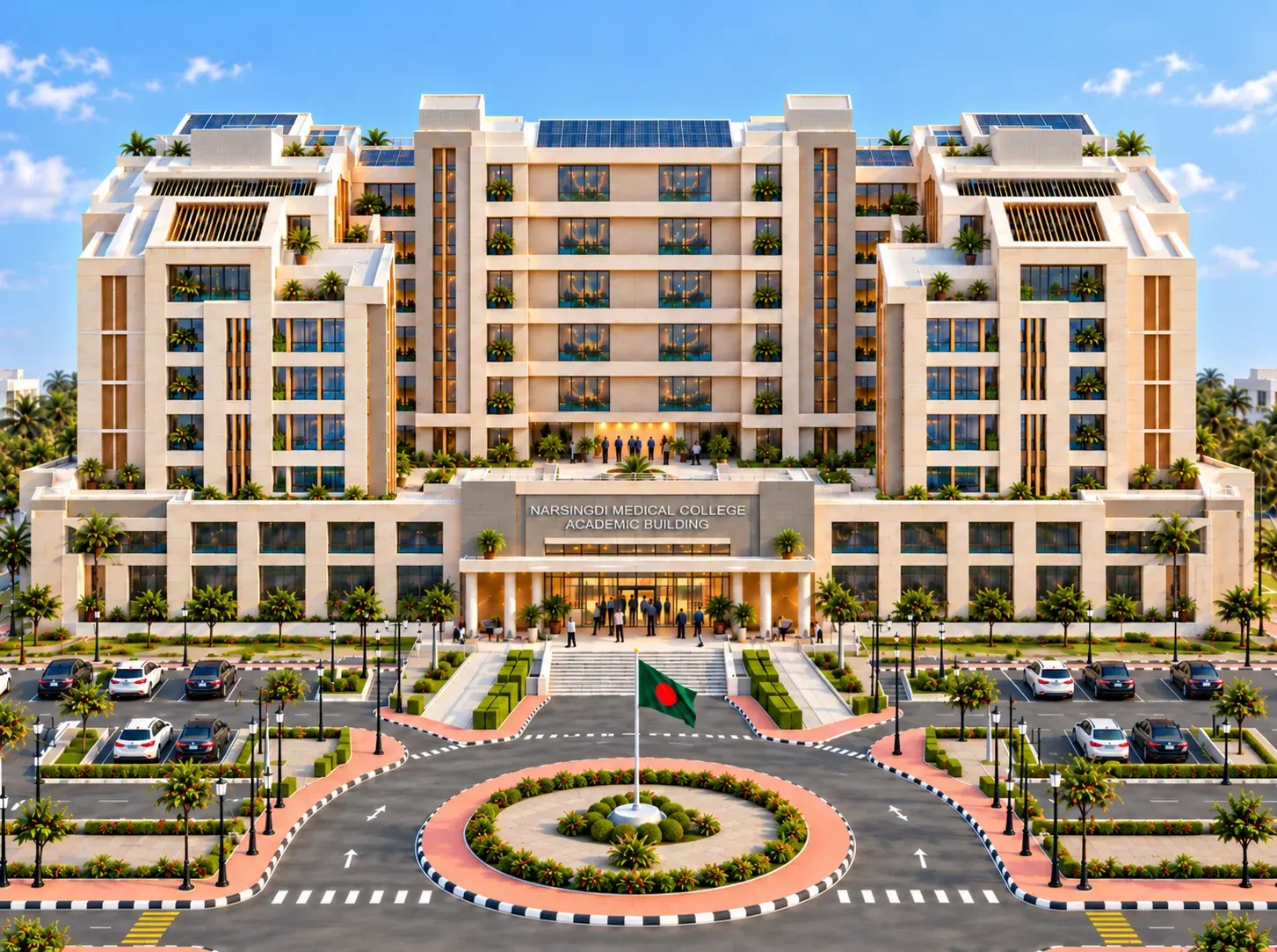
Planning and consultancy for healthcare facilities, covering medical equipment needs, medical waste, human resources, health management, and master planning.
Explore our servicesFeasibility studies and Development/Revised Development Project Proposals that give public works a sound, fundable start.
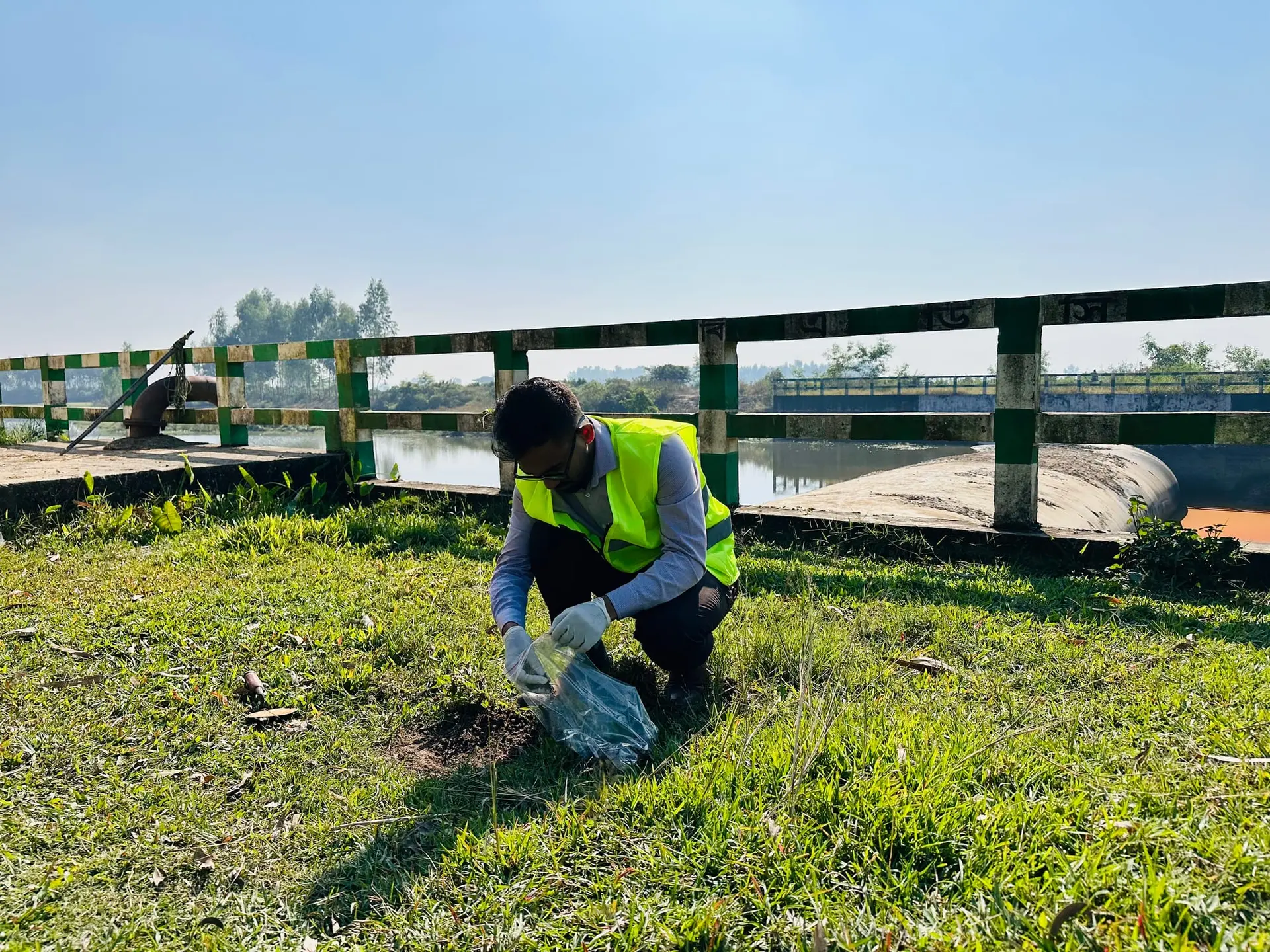
Rigorous environmental assessment and monitoring that let major infrastructure and development proceed responsibly.

Evidence-based studies that track a project's outcomes from launch through completion.

Field and aerial survey work that gives designers accurate ground truth.
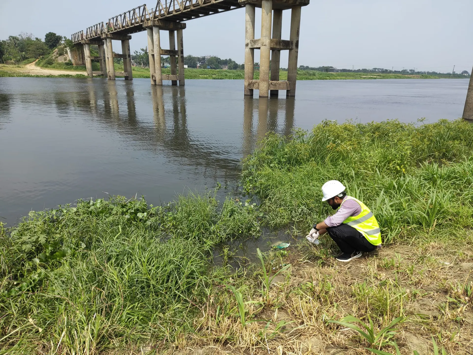
Design across disciplines for public works at national scale, from concept through construction-ready drawings.
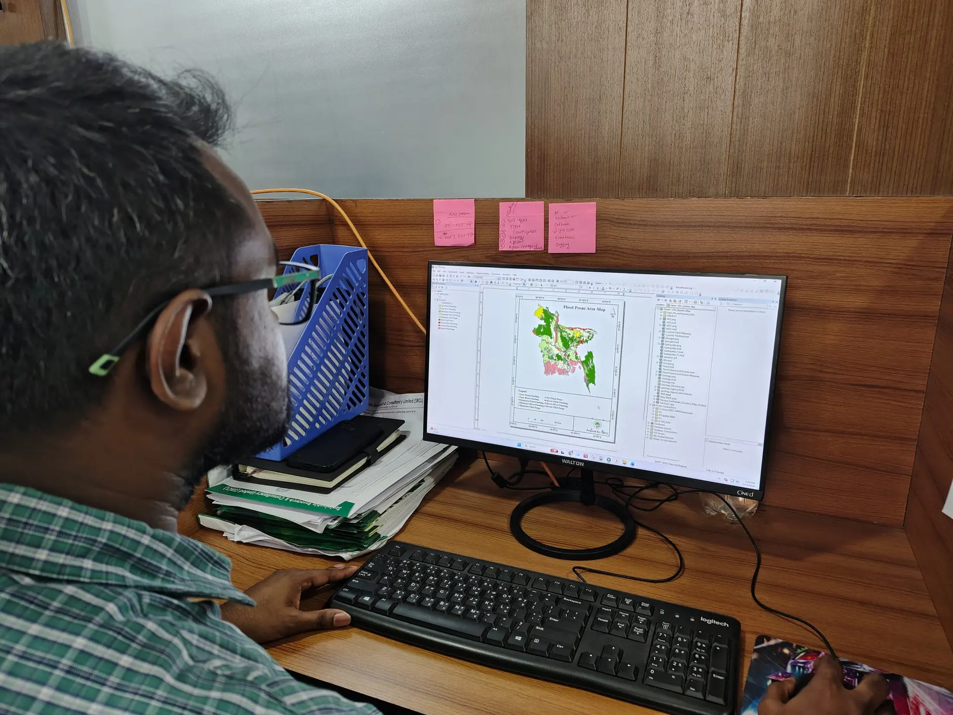
Remote sensing, spatial analysis, and subsurface investigation that turn terrain into decisions.
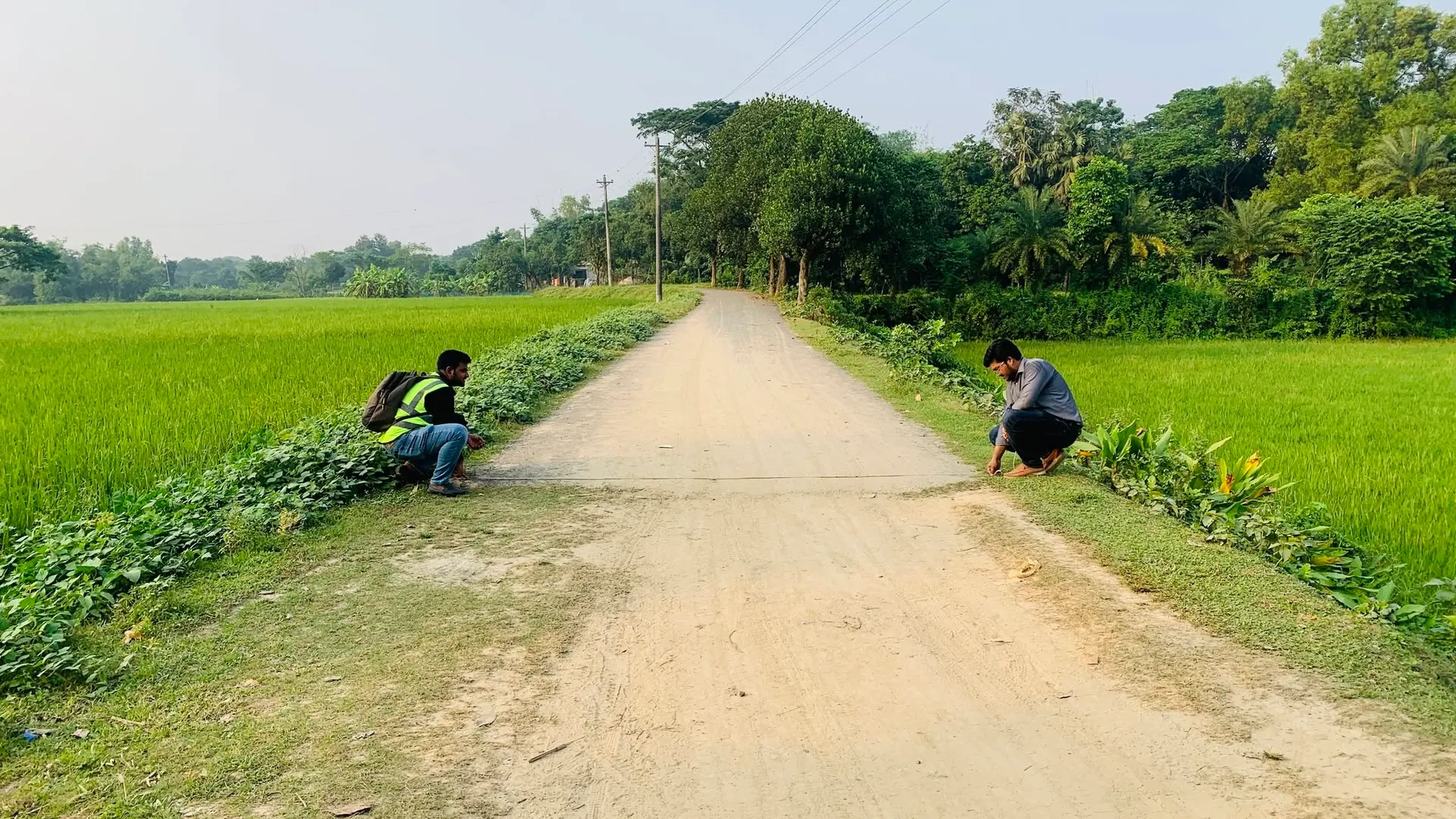
Hazard assessment and condition surveys that keep national infrastructure safe.
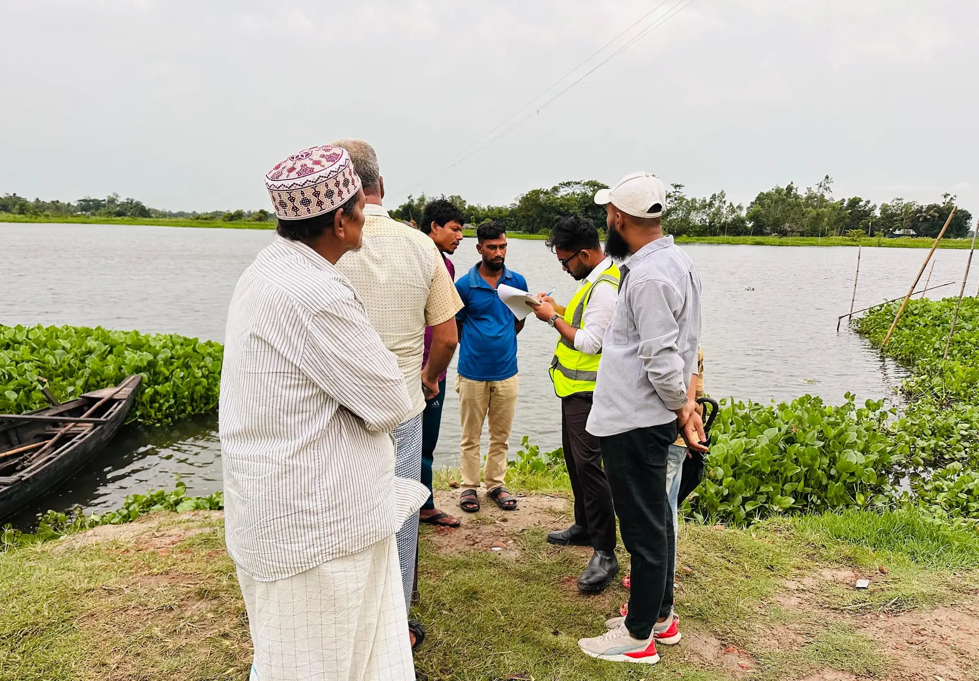
Field surveys that ground design and safeguards work in the realities of affected communities.
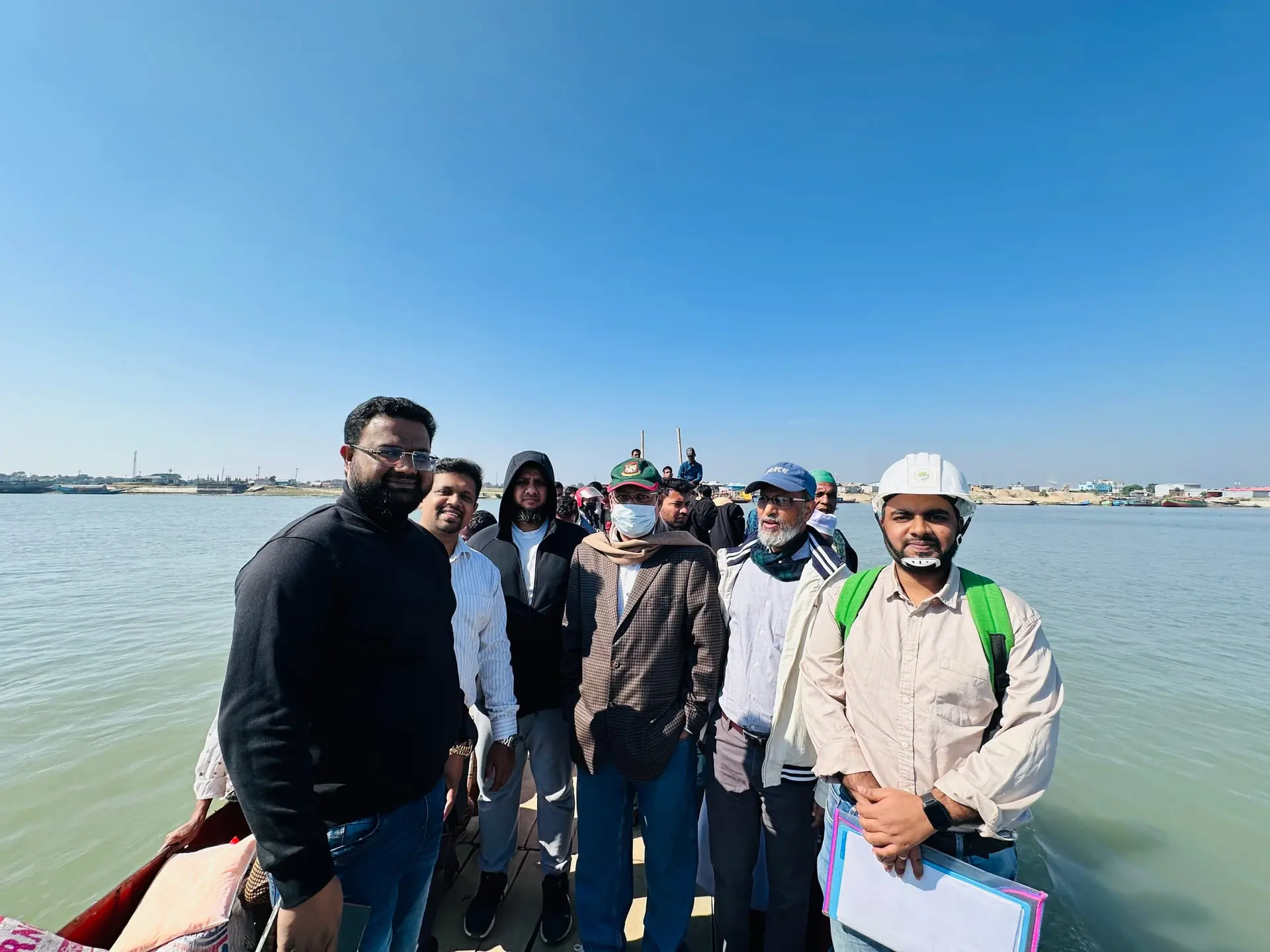
Climate, water, and river-morphology studies for a changing delta.
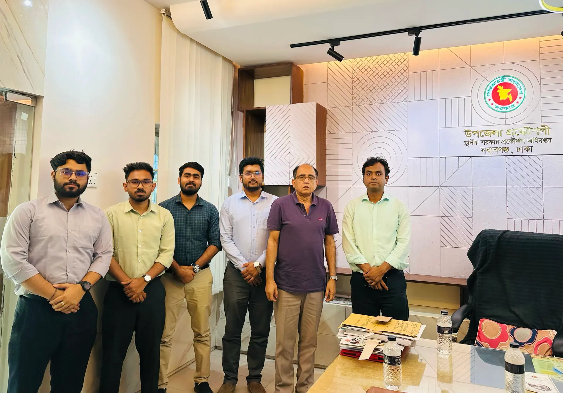
Resettlement action plans and livelihood restoration that keep land acquisition fair and accountable.

Financial and economic analysis that tests whether a project is worth building.
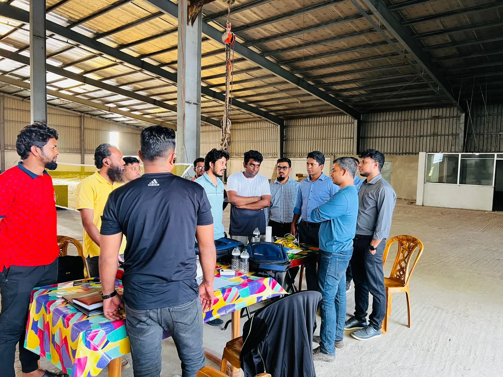
Structural, electrical, and fire safety inspection that keeps industrial facilities compliant and safe.
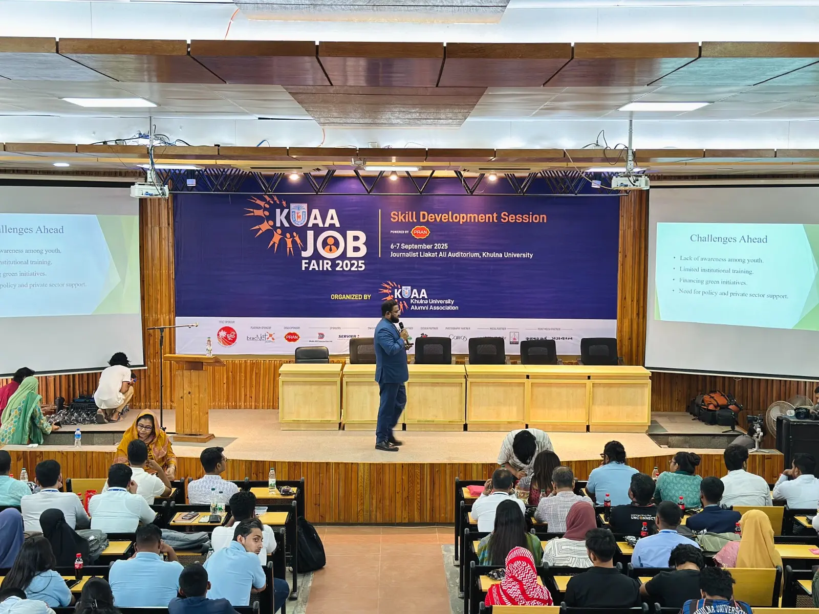
Training and knowledge programmes that build lasting technical capacity within client institutions.
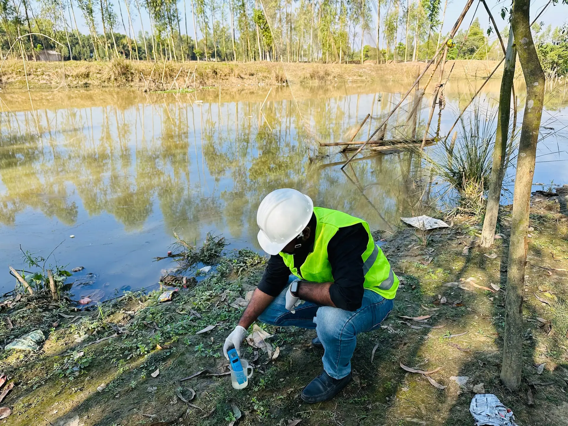
Planning and assessment for surface and groundwater, irrigation, drainage, and water supply.
Explore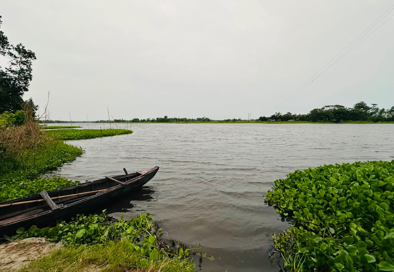
Morphological study of rivers, the delta, and the coast: erosion, accretion, and dredging.
ExploreClimate-risk assessment, adaptation strategy, and disaster risk reduction for a changing delta.
ExploreEcosystem, forest, and biodiversity studies that protect what development touches.
ExploreSpatial analysis, mapping, and field-survey systems that turn terrain into decisions.
Explore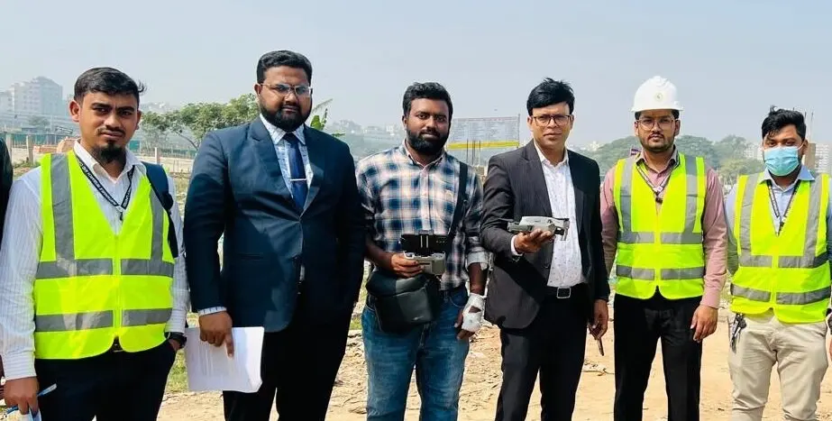
Satellite and aerial sensing for land cover, change detection, and resource mapping.
Explore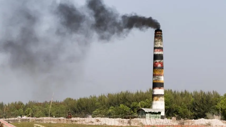
Carbon credit project development, certification support, and market access advisory.
ExploreSocio-economic surveys, gender mainstreaming, and institutional assessment.

Feasibility and stocktaking studies across agriculture, fisheries, and livestock.

Studies and advisory across the power, energy, and mineral-resource sectors.

Data systems, ICT infrastructure, and system management for projects.

Applied research, methodology development, and capacity-building programmes.

Quality assurance, reporting standards, and publication of project outputs.

Talent, partnerships, and business development across the group.

Administration, finance, and operational support for every engagement.
7 flagship divisions have detailed pages. The rest support every engagement behind the scenes.