Expertise
Remote Sensing
Satellite and aerial sensing for land cover, change detection, and resource mapping.
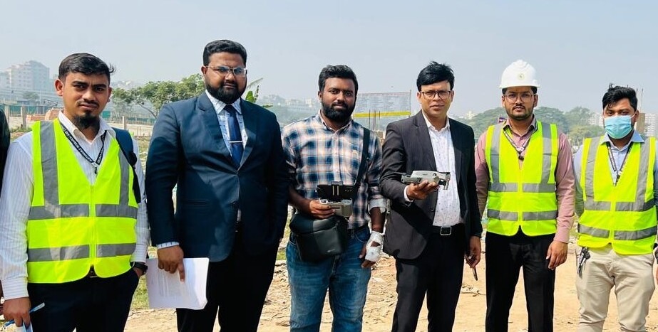
The Remote Sensing Division produces land-cover and land-use data, natural-resource maps, and change-detection studies such as erosion-accretion mapping, flood-inundation mapping, and agricultural crop mapping.
It also delivers environmental-impact-assessment mapping and generates clutter data for wireless telecommunication network planning, using current satellite and aerial sensing technologies.
Talk to this team