Survey and measurement tools.
SRCL maintains a fleet of precision survey instruments for fieldwork across Bangladesh. All equipment is available for project deployment.
Survey & field equipment
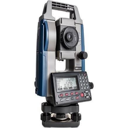
Total Station
Sokkia iM-52
Precise angle and distance measurement for topographic and engineering surveys.
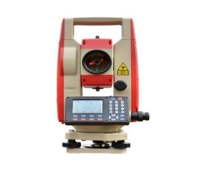
Total Station
Kolida KTS442R10
Reflectorless total station for control surveys and construction setting-out.
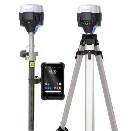
GNSS RTK Receiver
Emlid RS2+
Multi-band RTK positioning for centimetre-accurate field survey.
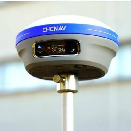
GNSS RTK Receiver
CHCnav i83
GNSS rover for boundary, cadastral, and control point capture.
 ×2
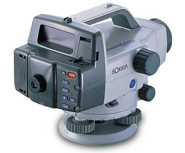
×2Automatic Level
Sokkia B30
Differential levelling for elevation and benchmark transfer.
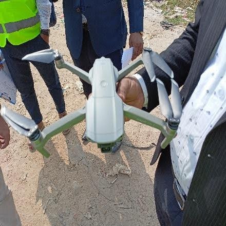
Survey & Mapping Drone
DJI Mavic Air 3
Aerial imagery and photogrammetry for mapping and site reconnaissance.
Alongside field survey instruments, SRCL also maintains testing instruments and computing hardware that support data processing, GIS, and analysis.